 |


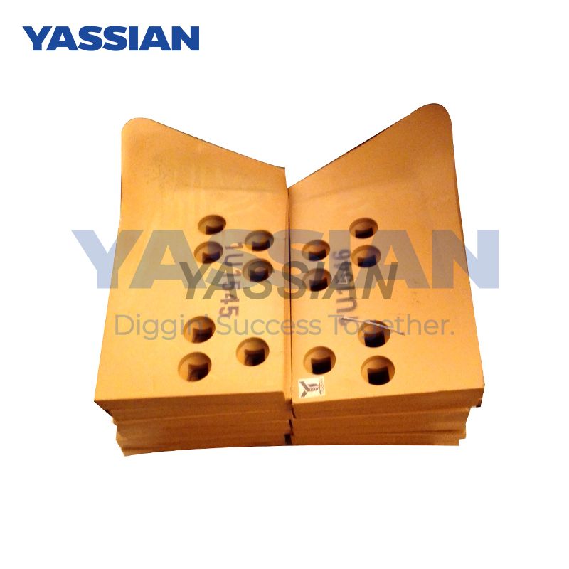
1U1545-1U1546
YASSIAN or Your's


Introduction to the Slope Control System of Trimble GCS900
The Trimble GCS900 slope control system is an advanced 3D automated construction technology specifically designed for earthwork projects such as slope leveling, compaction and final finishing. It achieves high-precision slope management by integrating GNSS positioning, sensors and hydraulic control. This system directly reads the digital design model, replacing the traditional manual method of placing piles and hanging lines, ensuring efficient and consistent construction.
I. Core Working Principle
The system utilizes GNSS high-precision positioning technology (such as Beidou or GPS) to track the three-dimensional position of the equipment (such as the motor grader scraper) in real time, and combines the tilt sensor and the hydraulic system to dynamically adjust the scraper's posture.
The control module (such as the Trimble CB440 control box) automatically sends instructions based on BIM model data to drive the oil cylinder to control the blade's elevation Angle and height, adapting to complex terrains (such as curves or frequently changing slopes).
This system supports wireless data transmission and multi-machine linkage, and can operate stably in harsh environments such as dust or at night, ensuring continuous construction.
Ii. Key Technological Advantages
High-precision control : The construction elevation accuracy reaches ±2 cm, and the flatness is controlled within 15 mm /3 meters, significantly reducing material waste and rework requirements.
Efficiency improvement : Automated operations reduce the reliance on human skills, shorten the waiting time for measurement, and the case shows that labor costs have been reduced by more than 20%.
Environmental adaptability : Integrated with active tracking technology and GNSS, it can operate in conditions such as rain, fog or narrow corridors, ensuring the continuity of the construction period.
Iii. Practical Application and Effect
In large-scale infrastructure projects (such as Jorge Chavez International Airport in Peru), the system is applied to the base of runways and aprons, with strict tolerance control (for instance, the flatness of the concrete base reaches the "perfect" level), significantly reducing rework and completing the laying ahead of schedule.
In earthwork projects (such as road expansion and renovation), the milling function is combined to provide a flat base, the material usage is optimized, the overall efficiency is improved, and the investment payback period is short (usually the investment can be recovered in the first project).
This system has become a core tool for global earthwork projects, driving the industry towards digitalization and high efficiency.


